

The Romans called it “Finis Terrae,” or the End of the World. They still developed a major port at A Coruna, and had a road network that ran down to Braga in Portugal and beyond into Roman Spain. Brandomil Bridge is a 16th-century replacement over a Roman route and gold mining town that also came to be part of a pilgrim trail.

Brandomil Bridge
Shipwrecked Galicians concurred with the terminal theme, naming the area “La Costa da Morte.” The most exposed section of coast runs between Muxia in the north and Fisterra (in Galician – Finisterre for most everyone else) in the south. I started with Fisterra, a fishing port that sits on Cape Finisterre and which is a good base to explore the area.

Fisterra Harbor
Cape Finisterre is also the actual last stop for Camino de Santiago pilgrims. Of the 300,000 who walk to Santiago de Compostela each year, the most determined – or possibly religious – go on to Fisterra to complete the last 80-kilometer stretch.

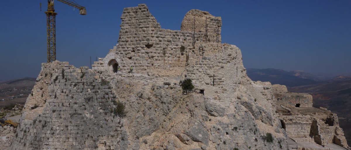
Castelo de San Carlos, Fisterra
A good and less extensive hike from town can take you to the Fisterra lighthouse, about four kilometers southwest and facing the open Atlantic. You may well imagine Fisterra facing the open Atlantic, but the likely fog layer just masks the eastward view to the other side of a large bay. Due west of the town is the Praia Mar de Fóra, a secluded and often windswept beach.

Rocky bay, Muxia
There are plenty of small towns scattered along the coast. Muxia, on a northwest tip of the Costa da Morte, sits astride a raised headland facing northwest. It is a working fishing town surrounded by rocky countryside and well worth a stop to wonder how people scratched out a living 100 years ago.

Mirador do Corpiño viewpoint, Muxia
If you go to Restaurante d’Alvaro – one in a stretch of good seafood places by the harbor – and ask for a bowl of their seafood soup you get this:

Seafood Soup, Restaurante d’Alvaro
A maritime memorial church sits at the tip of the headland where you can carefully walk over large boulders to the ocean.

Nosa Señora da Barca Church

Muxia suburbs
In general a car is the best way to explore the area – however, there are regional bus networks out of A Coruna or Santiago that will take you along routes to Fisterra.